Saturday afternoon, in the Mississippi Sound just north of Dauphin Island, my brother, Joe, and I (in his boat) passed through sizable areas of surface oil. Click pictures below for larger, more detailed images.

Surface oil in the Mississippi Sound north of Dauphin Island, photographed on June 19, 2010
In Katrina Cut, despite oil in the water just to the north, larger fish and birds were having a feeding frenzy on smaller fish.

Large fish and birds feasting on smaller fish in Katrina Cut, photographed June 19, 2010
Katrina Cut has become rich natural wonder since Hurricane Katrina opened it. But to prevent oil from passing through it, we are now going to fill it in with rocks and sand. Sadly, the oil has now entered the Mississippi Sound not through the cut at all but from the west.

Bird and fish feeding in Katrina cut, photographed June 19, 2010
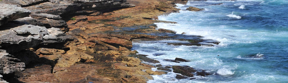
About 40 minutes later, quite close to the feeding birds and fish, we saw a large area of approaching oil only 25 yards from the Dauphin Island beach. This oil also threatens the shores Bayou La Batre, Heron Bay, and other coastal communities.

Surface oil entering clear waters near Katrina Cut, photographed June 19, 2010
Check out our new In Touch tab at the top of the web page.