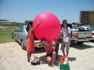
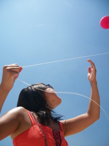
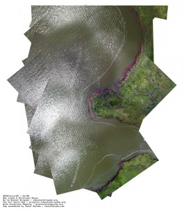
The Louisiana Bucket Brigade arrived on Dauphin Island Sunday afternoon to do some aerial photography. Beginning at noon on one of the hottest days of the year, MarikoToyoji, Shannon Dosemagen, and Raphael Bachal went straight to work. Rather than using a plane or satellite to obtain their pictures, the Louisiana Bucket Brigade uses inexpensive techniques developed by the Massachusetts Institute of Technology that employ kites and helium balloons. On Sunday the winds were calm, so a helium balloon was used to carry the camera 700 feet up. With the camera automatically snapping pictures every ten seconds, we walked along the beach obtaining numerous photos of the area.
| Later this week, using free software, the photos will be stitched together to create high quality aerial maps. When completed the maps will be uploaded to GrassrootsMapping.org where they will be publicly available.
The Louisiana Bucket Brigade works to enable coastal communities to make scientific measurements of their local environment. The work of the Louisiana Bucket Brigade currently includes an oil spill crisis map, “fenceline” community networks, community air sampling, and sustainability in the wake of Hurricane Katrina. |


