Uncertainty

Very close to the gulf shoreline, this grand magnolia tree in the Dauphin Island Audubon Bird Sanctuary has stood the test of life’s many uncertainties and storms

Very close to the gulf shoreline, this grand magnolia tree in the Dauphin Island Audubon Bird Sanctuary has stood the test of life’s many uncertainties and storms, photographed July 27, 2010.

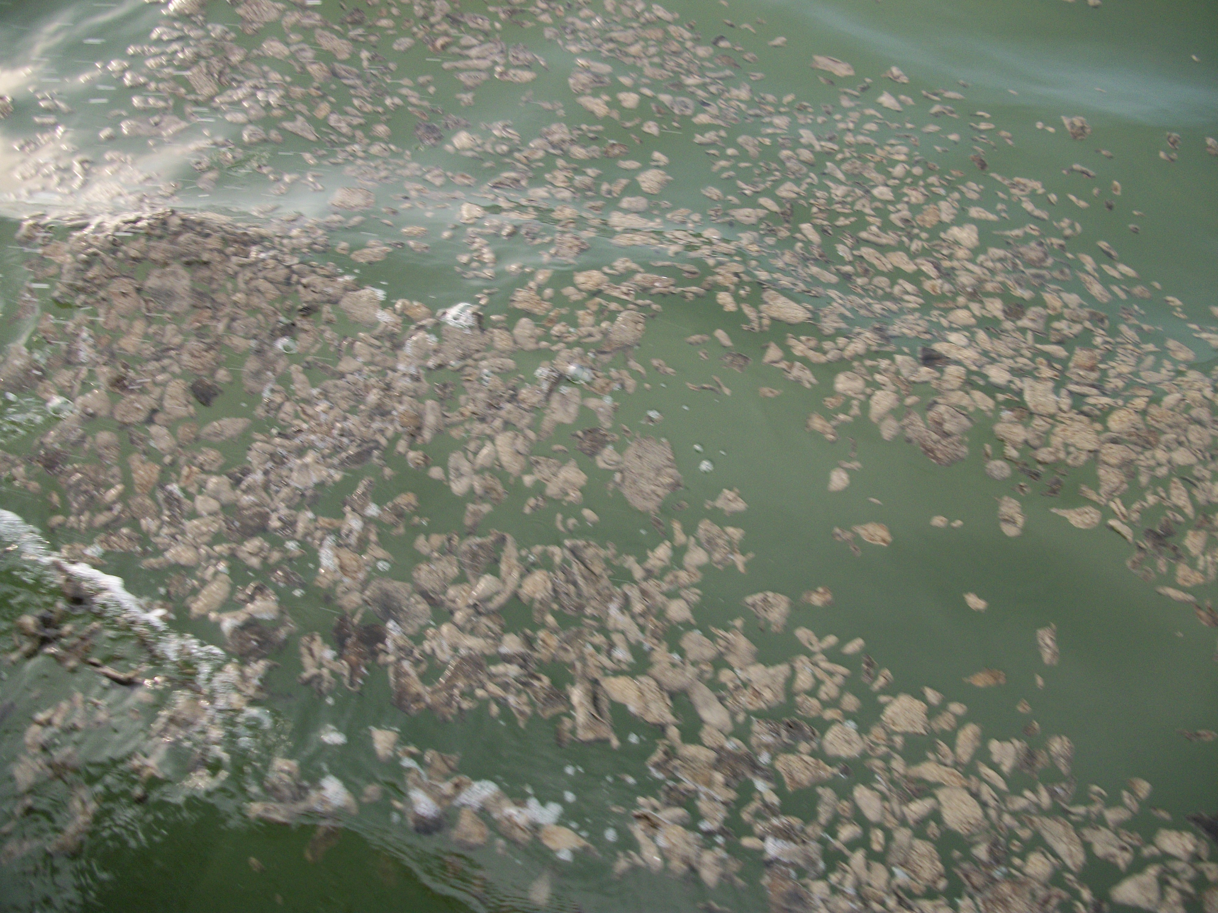
To say that we live in uncertain times is an understatement. Did the rapidly decaying oil (see previous two posts) contain recently applied dispersants? People, who know far more than I, say it’s likely, but we don’t know that and perhaps we never will. But right now I want to say something about uncertainty and action.

Life is filled with uncertainties. So what are we to do? If I wait for certainty, I will have procrastinated too long and my gifts, how I can contribute, will be wasted.

Two months ago, I woke up with a very compelling thought, “Just do the basics and progress will follow.” We don’t need to understand everything; we’re not in charge; we just need to show up and do what we can well.

As difficult as uncertainties can be, certainties can be dangerous, “The oil wells are safe.” Uncertainty that leads to inaction can be just as dangerous. In contrast, appreciating how much we don’t know can keep us alert and spur our creativity and action.

Thus uncertainty is ultimately about courage – courage to do what we should do, following the basics of who we are, even when it means not knowing where our actions will lead us. Curiously this kind of uncertainty sounds a lot like living faith. 

Oil Collected North of Dauphin Island Rapidly Disappears in Glass Jars

In my previous post, I showed pictures of LOTS OF OIL just off the Dauphin Island beaches (two of those pictures are included below). At that same time, I collected two samples of the oil and provided them to scientists. But before I gave them the samples some very strange things happened. The first sample included several clogs of oil and about a cup of seawater from an area of surface oil like the picture on the left. The second sample was gathered from an area of dense surface oil like the picture on the right. The oil collected in the second sample was very liquidy and contained very little seawater. I collected the samples around 5:45 P.M., August 4 (yesterday). By noon of the following day (today), dramatic changes had taken place in both samples. By noon, the water with the clogs of oil had turned clear, and the clogs of oil had either dissolved or evaporated and were no longer visible. By noon, there were just a few black granules at the bottom of the jar. In another strange development, also by noon, the oil in the second container had lost over half its volume (the glass jar which was filled to the brim was mostly empty). Both jars were closed with lids.

Surface oil in the Mississippi Sound, photographed August 4, 2010

Surface oil in the Mississippi Sound, photographed August 4, 2010

Oil with Dauphin Island bridge and houses in the background

Oil with Dauphin Island bridge and houses in the background, Dauphin Island west of Katrina Cut is behind the photographer, August 4, 2010.


Larger original photographs used in this and the previous post:

I am Really Mad – No More Oil – Open Your Eyes!

All the oil is gone right? Just listen to the national news. Time to lift the swim ban … it’s lifted … small children are now swimming on Dauphin Island. Area seafood … of course it’s safe? There’s just one big problem. The oil was still here last week when the no-more-oil PR campaign began, and right now the oil is still CLEARLY VISIBLE … RIGHT ON THE SURFACE … AS BAD AS EVER … IN THE MISSISSIPPI SOUND … WITHIN 100 YARDS OF DAUPHIN ISLAND.

Click photos to see higher resolution images. Permission is granted for anyone to use these photos.

Surface oil in the Mississippi Sound, photographed August 4, 2010

Surface oil in the Mississippi Sound, photographed August 4, 2010

Do you see oil?

Yes, that’s oil from Deepwater Horizon catastrophe right on the surface of the Mississippi Sound next to Dauphin Island, photographed August 4, 2010

Oil with Dauphin Island bridge and houses in the background

Oil with Dauphin Island bridge and houses in the background photographed August 4, 2010.

"This isn't the oil you're looking for." "This isn't the oil we're looking for." "Move along." "Move along."

Remember Star Wars: “This isn’t the oil you’re looking for.” “This isn’t the oil we’re looking for.” “Move along.” “Move along.” Time to open our eyes! Photographed August 4, 2010.

Please share this post and these pictures with others, thanks much!


Larger original photographs for above photos:

People can do Amazing Things – Homemade Aerial Photography

The Louisiana Bucket Brigade arrived on Dauphin Island Sunday afternoon to do some aerial photography. Beginning at noon on one of the hottest days of the year, MarikoToyoji, Shannon Dosemagen, and Raphael Bachal went straight to work. Rather than using a plane or satellite to obtain their pictures, the Louisiana Bucket Brigade uses inexpensive techniques developed by the Massachusetts Institute of Technology that employ kites and helium balloons. On Sunday the winds were calm, so a helium balloon was used to carry the camera 700 feet up. With the camera automatically snapping pictures every ten seconds, we walked along the beach obtaining numerous photos of the area.

People power

People power - MarikoToyoji, Shannon Dosemagen, and Raphael Bachal get ready to create high quality aerial maps, photographed August 1, 2010.

Mariko Toyoji getting the camera aloft - up, up, and away!

Mariko Toyoji getting the camera aloft - up, up, and away! Photographed August 1, 2010.

Later this week, using free software, the photos will be stitched together to create high quality aerial maps. When completed the maps will be uploaded to GrassrootsMapping.org where they will be publicly available.


The Louisiana Bucket Brigade works to enable coastal communities to make scientific measurements of their local environment. The work of the Louisiana Bucket Brigade currently includes an oil spill crisis map, “fenceline” community networks, community air sampling, and sustainability in the wake of Hurricane Katrina.

Bay Jimmy aerial map

Bay Jimmy aerial map - a low resolution image (see http://www.flickr.com/photos/labucketbrigade/4845375332/ for high resolution map link).